
U.S. Virgin Islands
- Position
- 18.3°N · 64.9°W
- Region
- U.S. Virgin Islands
Overview
An American base in the Virgin Islands
St. Thomas is one of the main islands of the U.S. Virgin Islands, an unincorporated U.S. territory. Its capital, Charlotte Amalie, wraps around a deep harbor sheltered by Water Island and Hassel Island, and the East End town of Red Hook faces St. John, about 4 miles away.
For U.S. citizens, the practicalities are easy: the currency is the U.S. dollar, and no passport is needed to visit the USVI itself, although proof of citizenship is needed for the return journey and a passport is recommended as identification. (Cars drive on the left here, a surprise to many first-time visitors.)
The water is the main attraction. About 60% of St. John is protected as Virgin Islands National Park, with calm, reef-fringed bays that are perfect for a day at anchor. Closer to St. Thomas, Christmas Cove and Water Island offer shorter outings, and the British Virgin Islands lie just beyond St. John for those with passports.
Marinas
Two sides of the island
Red Hook is closest to St. John and the BVI; Charlotte Amalie is the downtown and cruise-port side.
Yacht Haven Grande
An IGY megayacht marina in Charlotte Amalie, a short walk from the cruise-ship dock and downtown.
Charlotte AmalieCrown Bay Marina
A full-service marina on the west side of Charlotte Amalie, near the airport and the Water Island ferry.
Charlotte Amalie WestAmerican Yacht Harbor
An IGY marina in Red Hook on the East End, a base for sportfishing and charter boats and closest to St. John.
Red HookWhere you'll cruise
Coves, cays and a national park

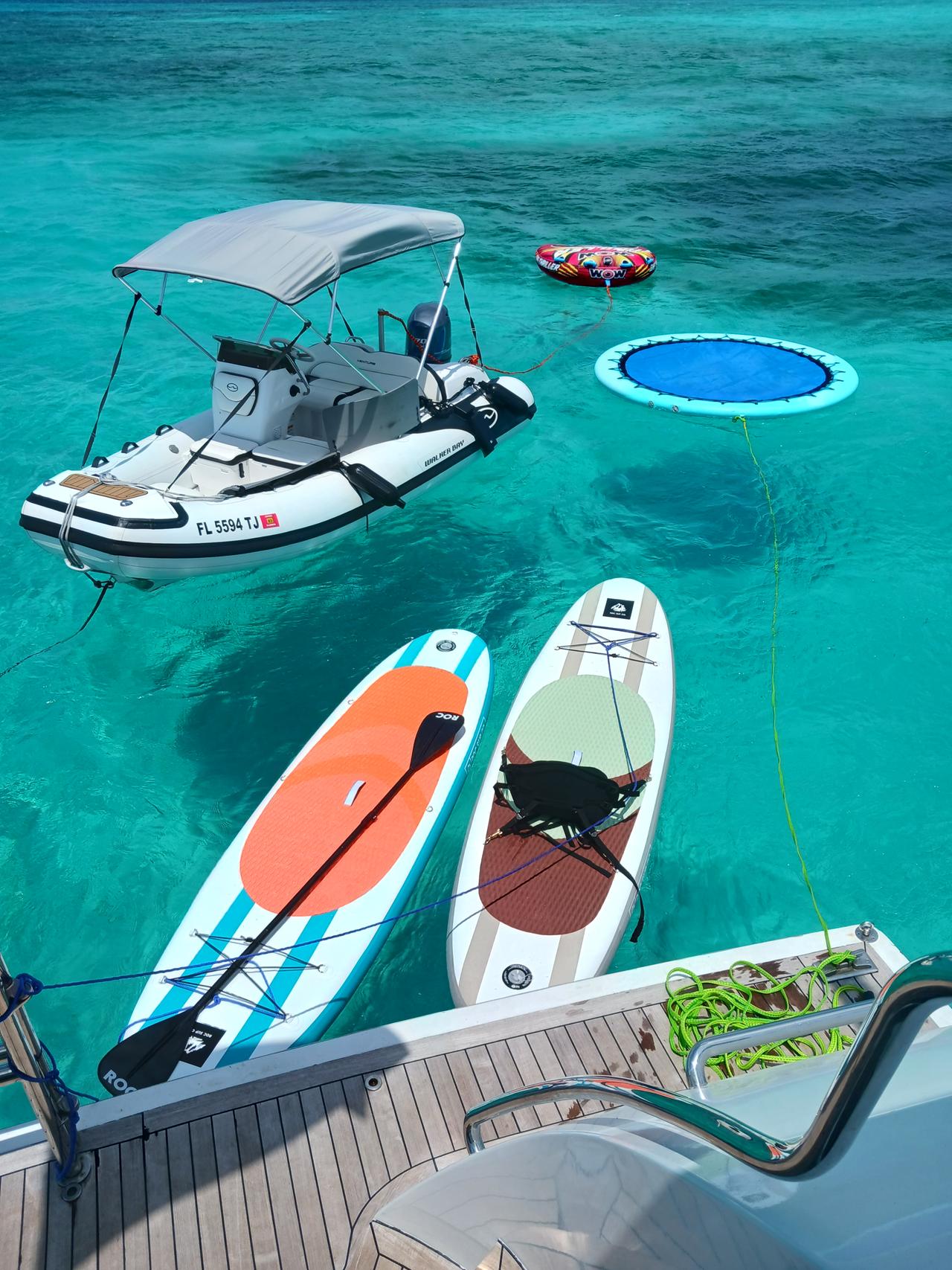
Christmas Cove, Great St. James
A sheltered cove on the west side of a privately owned island, a favorite snorkel and lunch stop for day-charter boats.
Water Island & Honeymoon Beach
A small island south of the harbor, with the calm Honeymoon Beach on Druif Bay.
Buck Island
A national wildlife refuge managed by the U.S. Fish & Wildlife Service, with snorkel and dive sites including a shipwreck in Shipwreck Cove.
Honeymoon, Caneel & Hawksnest bays
The park's north-shore bays, with calm water, reefs and federally protected elkhorn coral at Hawksnest.
Maho, Francis & Waterlemon Cay
Seagrass bays where turtles are often seen, and the snorkeling around Waterlemon Cay in Leinster Bay, where currents can be strong on the north side.
Trunk Bay
The park's best-known beach, with an underwater snorkel trail. It has an amenity fee and boat landings are not guaranteed, so we confirm what is practical.
National park rules
Virgin Islands National Park by boat
Virgin Islands National Park, established in 1956 and managed by the National Park Service, protects about 60% of St. John and more than 5,500 acres of surrounding sea. Boating follows clear rules:
- Anchoring is only allowed in two designated anchorages, off Francis Bay and Lind Point, on sand.
- Elsewhere, boats use color-coded park mooring buoys sized to the vessel, plus dedicated snorkel and dive moorings.
- Speeds are limited near mooring fields, fishing from park moorings is not allowed and boats stay out of marked swim areas.
- Moorings must be vacated when a tropical storm warning is issued.
The park asks visitors to avoid sunscreens containing oxybenzone, octocrylene and octinoxate, and to stand only on sand.
Going to the British Virgin Islands
The BVI is a separate British Overseas Territory, with Tortola about 4 miles northeast of St. John. Every vessel must clear in with BVI Customs and Immigration at a port of entry on arrival, everyone aboard needs a valid passport, and the boat clears back into the USVI on return. A day trip is possible but adds paperwork and time, so many guests plan it as a longer charter.
Current fleet & availability
Ask about yachts in St. Thomas
Tell us your dates, group size and whether you would like St. John's bays, a snorkel cove or a BVI adventure. We will check the vessels available.
Related destinations
More of the Caribbean
St. Thomas FAQ
Frequently Asked Questions About Yacht Charters in St. Thomas
Straight answers to the questions travelers ask most about chartering in St. Thomas. If yours is not here, ask us when you request a quote.
Do I need a passport for a St. Thomas charter?
U.S. citizens do not need a passport for a charter within the U.S. Virgin Islands, although proof of citizenship is needed when departing and a passport is recommended as ID. Everyone needs a valid passport to visit the British Virgin Islands.
Can we go to the British Virgin Islands from St. Thomas?
Yes, with passports and customs and immigration clearance at a BVI port of entry, then clearing back into the USVI on return.
Where do St. Thomas charters leave from?
From Red Hook on the East End (American Yacht Harbor) or from Charlotte Amalie (Yacht Haven Grande and Crown Bay Marina), depending on the vessel.
Are there fees in Virgin Islands National Park?
There is no general entrance fee, but overnight moorings are charged, and Trunk Bay has a small amenity fee for adults. We confirm what applies to your charter.
Can boats anchor anywhere off St. John?
No. Within the national park, anchoring is only allowed in designated anchorages off Francis Bay and Lind Point; elsewhere boats use park moorings.
What is Christmas Cove?
A sheltered snorkel cove on the west side of Great St. James, a privately owned island just off St. Thomas's East End.
Which Honeymoon Beach will we visit?
There are two: one on Water Island in Charlotte Amalie harbor and one on St. John inside the national park. We will confirm which is on your itinerary.
Is Buck Island near St. Thomas?
Buck Island National Wildlife Refuge is about 2 miles south of St. Thomas. Buck Island Reef National Monument is a different island off St. Croix.
When is hurricane season in the U.S. Virgin Islands?
June 1 to November 30, with most activity from mid-August to mid-October.
How far is St. John from St. Thomas?
About 4 miles east, facing Red Hook on the East End. That makes American Yacht Harbor the closest marina to the national park bays, although charters from Charlotte Amalie visit them too.
Can a charter stop at Trunk Bay?
Not always. It is the national park's best-known beach, with an underwater snorkel trail and an amenity fee, but boat landings there are not guaranteed. We confirm what is practical for your charter and suggest alternatives such as Honeymoon, Caneel or Hawksnest if needed.